Route dossier / enduring context, not live status
TRACE THE CLIMB
A pass is a crossing shaped by terrain, settlement, engineering and weather. These notes help you compare the feel of routes; they do not promise that a road is open, dry or suitable on the day you arrive.
OPEN THE PASS DOSSIERSRead a route as a sequence
Before choosing a crossing, picture the day as several connected sections: the approach, the sustained climb, the summit or watershed, and the descent. Each asks different questions. On the approach, fuel, traffic and the first signs of elevation matter. During the climb, tight bends may alternate with open sections and villages. At the top, wind, low temperature and a change in weather can make a comfortable ride feel abruptly different. On the descent, braking demands and attention accumulate even when the road looks familiar.
That is why a route name alone is not a useful itinerary. Two passes with similar headline distances can differ greatly in bend density, road width, roadside development, exposure and opportunities to pause. Allow time for the actual riding task, not only the distance shown on a map. A scenic detour or a controlled roadworks section can reshape the day. Keep your plan flexible enough to stop, turn back or use a lower alternative without pressure.
Landmarks worth comparing
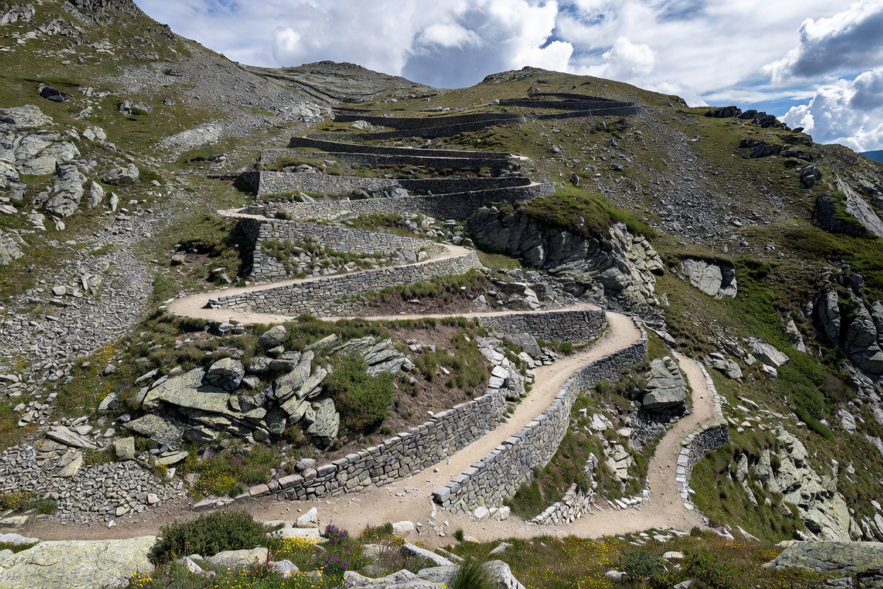
The Alps offer a useful range of road characters. Stelvio Pass is associated with a celebrated series of hairpins on its eastern approach; its fame is not a reason to treat the route as a challenge or assume every bend is clear. Grossglockner High Alpine Road is a managed scenic road with distinctive high-mountain views and its own access rules and operating conditions. The route over Timmelsjoch connects Tyrol and South Tyrol through a high, exposed landscape. Sella Pass sits within the Dolomites’ connected network of valleys and passes, where local traffic, cyclists and changing visibility share the road.
Further west, Col du Galibier and Col de l’Iseran illustrate how high-elevation routes can be seasonal and sensitive to weather. Great St Bernard Pass has a long history as a transalpine corridor, while Simplon Pass forms a major crossing between Switzerland and Italy. Furka Pass, Grimsel Pass and Susten Pass are often considered together as a Swiss alpine circuit, but combining them is a planning choice, not a guaranteed easy day. In the eastern Alps, Nockalm Road is a managed scenic route in Austria, while Gerlos Alpine Road provides a different mix of mountain scenery and access context.
These names are starting points for research, not recommendations for a particular date or skill level. Study the actual road authority’s information, access restrictions, toll or ticket rules where applicable, and nearby alternatives. A road’s reputation and a rider’s expectations can be out of step with current conditions.
Build the approach, not just the summit
Choose a start point that allows a calm warm-up. If the approach begins in a busy town, account for fuel stops, slow traffic and navigation decisions before the road becomes more technical. Consider whether you will ride alone or with others. A group needs agreed regrouping locations that do not obstruct traffic and a clear understanding that riders should not feel obliged to keep up. Use a lead and a sweep only if the group has established those roles and the route supports them safely.
Navigation should support attention rather than compete with it. Set the route before moving, secure devices and make changes only when parked. A paper overview or offline map can provide useful context if reception is unreliable, but neither replaces posted signs or official instructions. Avoid last-second lane changes when a junction or pass entrance appears. If you miss a turn, continue to a safe place to reassess.
Verify the changeable details
Pass access can be affected by seasonal snow, overnight frost, heavy rain, rockfall, avalanche control, construction, events and local restrictions. Check the responsible road authority or operator shortly before departure and again if the forecast changes. Confirm the direction of travel allowed, operating hours, any access charges, and whether motorcycles are subject to specific restrictions. Roadside signs take precedence over a route description written in advance.
Look beyond a single forecast icon. Temperature can fall with elevation, wind can become more exposed near a ridge, and shaded sections may remain damp after lower roads dry. Weather in one valley does not reliably describe the other side of a watershed. If thunder, poor visibility, high wind or a rapidly deteriorating surface makes the plan uncomfortable, use a safer option. Turning around is a competent route decision.
Use the dossier as a planning filter
For each candidate crossing, note its access authority, approximate riding time, likely stopping places, fuel options and an alternative route. Mark a few suitable places to pause before departure, but do not assume a roadside pull-off is legal or safe. The scenic-stop guide explains how to evaluate a place once you reach it. The engineering guide explains why a blind bend, camber change or retaining wall may alter what you can see and where you can safely position the motorcycle.
Finally, decide what would make you change the plan: a closure notice, rain arriving earlier, fatigue, a delayed start, or a stop that takes longer than expected. A good route dossier does not tell you to ride through every condition. It gives you enough context to make a deliberate choice, preserve margin and enjoy the landscape without treating the road as a test.